Metadata: Mirabel Region Hydrogeological Units
Metadata NAP :
more info
This metadata document complies to North American Profile of ISO19115:2003 - Geographic information - Metadata. You can also get this document in

. For more information about this standard, visit
http://nap.geogratis.gc.ca/.
Identification
Abstract
The Mirabel area is located southwest of Quebec. The area is bounded north by Rivière du Nord, south by the Ottawa River, Lac des Deux Montagnes and Rivière des Mille Îles, and east by the Mascouche River watershed. The area is divided into ten hydrogeological units, based on hydrostratigraphy of the Quaternary sediments. Each hydrogeological unit exhibits a particular geological context. The dataset mainly focuses on the geological and stratigraphic settings and the interaction between the sediment layers in the same hydrogeological unit. The dataset also consists of data on confinement, groundwater storage, surficial sediment and hydrogeological units thickness, wells depth, groundwater depth, hydraulic conductivity, recharge and discharge, groundwater usage, aquifer vulnerability and groundwater quality. The dataset is a summary of data and hydrogeological information for all aquifers, aquifer systems and hydrogeological contexts of the Mirabel project.
Status: completed
| Title | Mirabel Region Hydrogeological Units |
| Date | 2013-01-01 ( publication)
|
| Date | 2002-01-01 ( creation)
|
| Edition | |
| Edition date | |
| Citation group |
| principalInvestigator |
| Name | Martine Savard |
| Organisation | Government of Canada; Natural Resources Canada; Geological Survey of Canada - GSC Quebec |
| Position | |
| Information |
| Address | Delivery point : 490, rue de la Couronne, 3e étage 490, rue de la Couronne, 3e étage
City : Québec Québec
Administrative region : Québec Québec
Postal code :
Country : Canada Canada
 Email martine.savard@canada.ca Email martine.savard@canada.ca |
| Telephone |  voice; 1 (418) 6542634 voice; 1 (418) 6542634
|
| Online Resource | |
|
|
| Citation group |
| originator |
| Name | Martin Ross |
| Organisation | Institut national de la recherche scientifique |
| Position | Geologist |
| Information |
| Address | |
| Telephone | |
| Online Resource | |
|
|
| Citation group |
| custodian |
| Name | Francois Letourneau |
| Organisation | Government of Canada; Natural Resources Canada; Geological Survey of Canada - GSC Quebec |
| Position | |
| Information |
| Address | Delivery point : 490, rue de la Couronne, 3e étage 490, rue de la Couronne, 3e étage
City : Québec Québec
Administrative region : Québec Québec
Postal code :
Country : Canada Canada
Email francois.letourneau@canada.ca |
| Telephone | voice; 1 (418) 6543826
|
| Online Resource | |
|
|
| Citation group |
| pointOfContact |
| Name | |
| Organisation | Government of Canada; Natural Resources Canada; Geological Survey of Canada |
| Position | |
| Information |
|
|
|
| Presentation form | mapDigital |
| Series | Bulletin587 |
Related publication
- Savard MM, Nastev M, Paradis D, Lefebvre R, Martel R, Cloutier V, Murat V, Bourque É, Ross M, Lauzière K, Parent M, Hamel A, Lemieux JM, Therrien R, Bolduc A, Rocher M, Salad Hersi O, Kirkwood D, Castonguay S et Gélinas P (2013). Hydrogéologqie régionale du système aquifère fracturé /Regional hydrogeology of the fractured aquifer system. Dans: Savard MM, (Ed.). Inventaire canadien des ressources en eau souterraine : Caratérisation hydrogéologique régionale et intégrée du système aquifère fracturé du sud-ouest du Québec / Canadian inventory of groundwater resources: integrated regional hydrogeological characterization of the fractured aquifer system of southwestern Quebec. pp. 9-80. (Bulletin: 587). Ottawa, Canada, Commission géolgique du Canada / Geological Survey of Canada. DOI : 10.4095/291348
Goals
This dataset was created to provide a regional frame of the spatial distribution of the hydrostratigraphic units and hydrogeological contexts within Mirabel area.
Keyword(s)
| Spatial representation | vector |
| Resolution | 250000 |
| Language | fra; CAN |
| Character encoding | utf8 |
| Thematic category | geoscientificInformation |
| Extent | 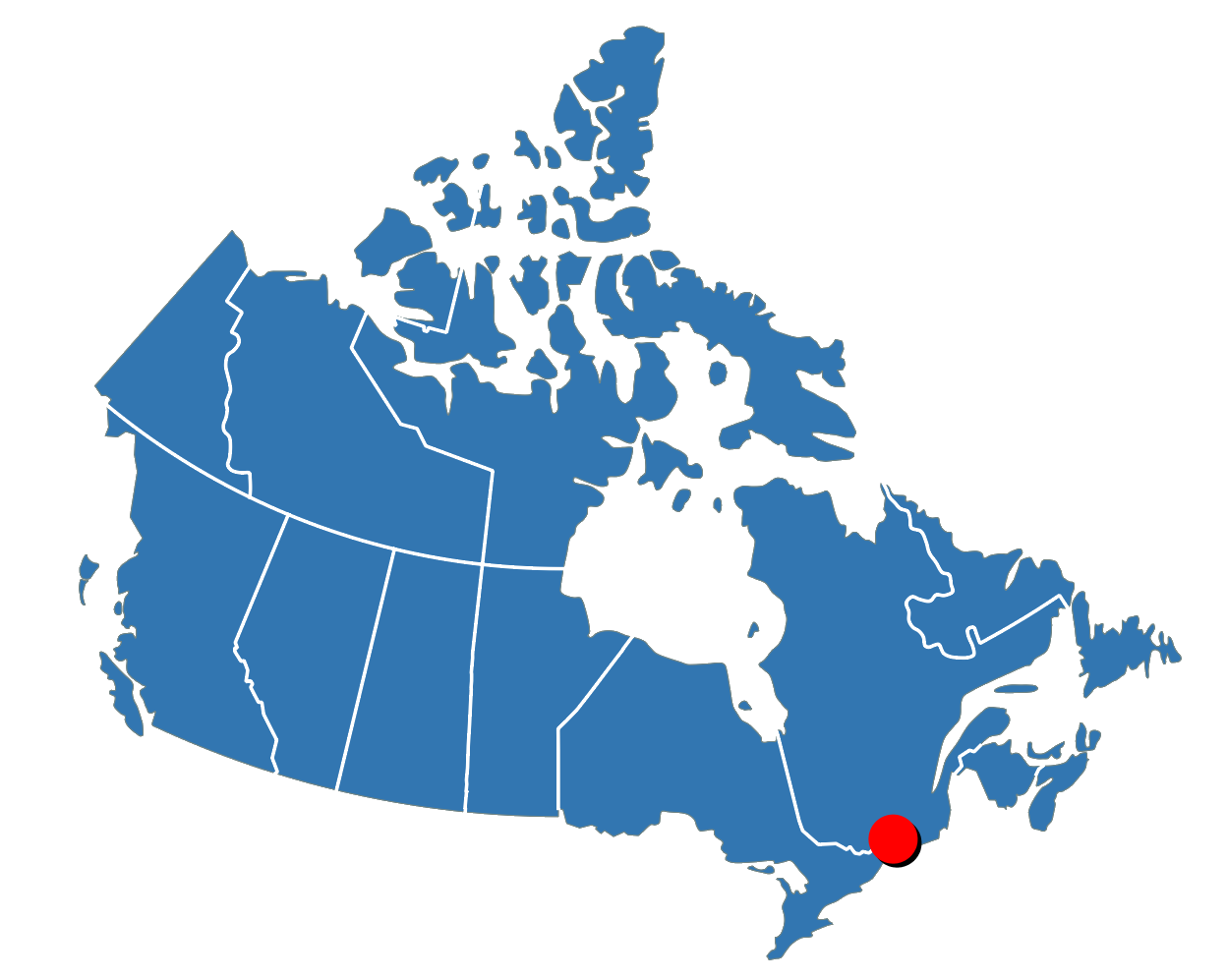
-74.636086000,45.446489000;-73.754350000,45.848361000 |
| Supplemental information | |
Distribution
Specific information related to data distribution
| Format |
| Name | WMS |
| Version | 1.3.0 |
| Format |
| Name | CSV |
| Version | unknown |
| Format |
| Name | JSON |
| Version | unknown |
| Format |
| Name | GML |
| Version | unknown |
| Format |
| Name | KML |
| Version | unknown |
| Format |
| Name | dxf |
| Version | unknown |
| Format |
| Name | SHP |
| Version | unknown |
| Format |
| Name | SHP |
| Version | not applicable |
Distributor
| Contact |
| distributor |
| Name | Eric Boisvert |
| Organisation | Government of Canada; Natural Resources Canada; Geological Survey of Canada - GSC Quebec |
| Position | |
| Information |
| Address | Delivery point : 490, rue de la Couronne, 3e étage 490, rue de la Couronne, 3e étage
City : Québec Québec
Administrative region : Québec Québec
Postal code :
Country : Canada Canada
Email eric.boisvert2@canada.ca |
| Telephone | voice; 1 (418) 6543705
|
| Online Resource | |
|
|
Distributor
| Contact |
| pointOfContact |
| Name | |
| Organisation | Government of Canada; Natural Resources Canada; Geological Survey of Canada |
| Position | |
| Information |
|
|
Transfer options
Quality
Quality description scope : dataset
Lineage
 Date lineage
Lineage is the description of the sources and steps used to create the current dataset.
Introduction
General process description
|
Process step
|
Sources
|
| This dataset was collected from Figure 41 of the "Canadian Inventory of groundwater resources: integrated regional hydrogeological fractured aquifer system in southwestern Quebec" newsletter of the Geological Survey of Canada. The image was imported and georeferenced in ArcGIS. The vector dataset was built with reference to the figure and by creating polygons. The information for the design of the data table also comes from the newsletter. |
| This dataset was collected from Figure 41 of the "Canadian Inventory of groundwater resources: integrated regional hydrogeological fractured aquifer system in southwestern Quebec" newsletter of the Geological Survey of Canada. The image was imported and georeferenced in ArcGIS. The vector dataset was built with reference to the figure and by creating polygons. The information for the design of the data table also comes from the newsletter. |
|
Technical details and constraints
| File identifier | 1448b4e3-c71c-43e4-97d8-a4d2d6d99037 |
| Language | eng; CAN |
| Character encoding | utf8 |
| Hierarchical classification | dataset |
| Date | 2016-06-15 |
| Metadata standard | North American Profile of ISO 19115:2003 - Geographic information - Metadata |
| Version | CAN/CGSB-171.100-2009 |
| Constraints | |
| Update frequency | asNeeded |
Regionalisation
Metadata are available in those languages (You can use language menu item in the top menu bar to switch language):
Geographic Reference System
Metadata Contact
| author |
| Name | Francois Letourneau |
| Organisation | Government of Canada; Natural Resources Canada; Geological Survey of Canada - GSC Quebec |
| Position | |
| Information |
| Address | Delivery point : 490, rue de la Couronne, 3e étage 490, rue de la Couronne, 3e étage
City : Québec Québec
Administrative region : Québec Québec
Postal code :
Country : Canada Canada
Email francois.letourneau@canada.ca |
| Telephone | voice; 1 (418) 6543826
|
| Online Resource | |
|
| pointOfContact |
| Name | |
| Organisation | Government of Canada; Natural Resources Canada; Geological Survey of Canada |
| Position | |
| Information |
|